Almost a week has passed and my body is still tired. We had thought, and read trail descriptions that supported our thinking, that climbing Mt. Katahdin on the Hunt Trail, which is the end of the Appalachian Trail, would be a reasonable hike. Not so.
We started up the trail at 8:00 last Sunday morning, leap frogging with crowds of hikers, some thru-hikers finishing the AT, some families, some people who were cockily underdressed for the cold and wind. We’d spent the night camping at 30 degrees, got up to make coffee in the cold and ate breakfast in the running car, seat heaters humming.
It was a beautiful trail, passing the roar and thrash of Katahdin Falls, then breaking out into sun on a long slope of granite ridge, fringed with blueberries bushes gone red. We could see a jumbled pile of granite blocks peaking into the sky above us, but it would be hours before we got to the top of it and realized there was still another mile and a half to go to Baxter Peak, the summit of Katahdin.
Still hiking up through the birch and spruce forest, hikers started to pass us going down. “Did you get to the summit?” I asked them all, even though it was still early in the day. “No, it’s harsh up there, way too windy above tree line, we turned around,” was the essence of everyone’s answer. Even given all that feedback, we were not prepared for what we encountered above tree line.
Almost immediately, we were hauling ourselves up and over rock ledges, using the iron bars and hooks hammered into the granite in particularly tough spots, while bracing ourselves against toppling winds. Blinding sun in his eyes, wind whipping every backpack strap into his face and hanging off a climbing bar, David said, “I think I want to turn around. This is too much.” Just then a hiker came back down from in front of us, retrieving the poles he’d left behind thinking a friend was going to bring them up. “It’s not as bad around the next corner,” he said, “it’s more sheltered.” So David hoisted himself over the lip of ledge and we kept going.
After a half mile of scrambling and bouldering, we reached an overlook behind a face of rock blocking the wind, where groups of hikers were sitting in the sun eating and looking out over miles and miles of Maine forest and lakes and mountains. We stopped too, looking up over and over at the steep pitch of jumbled rock slabs we’d seen from the open ledge miles below.
“Let’s do it,” David finally said, and we hoisted our packs back on, our poles collapsed and stuffed in my pack. Poles were only in the way crawling on all fours across the open rocks, calculating each hand and foot hold, keeping low out of the wind. When we got to the top of the pitch, we could see Baxter Peak over a mile in the distance, across the flat table lands of the Katahdin Ridge. The peak was bathed in white — frost and ice and snow — and dotted with the small figures of AT hikers, finally at the summit, taking in the glory of their accomplishment.
We decided to hike a bit further, already knowing we wouldn’t reach the peak, but not wanting to leave that expanse of open alpine land yet. We reached the junction of the Abol and Thoreau Springs trail after walking on ice for half a mile. This was as far as Thoreau got trying to summit Katahdin, and he’d gotten lost in the fog and sprained his ankle falling out of a tree, which he’d climbed to get a view.
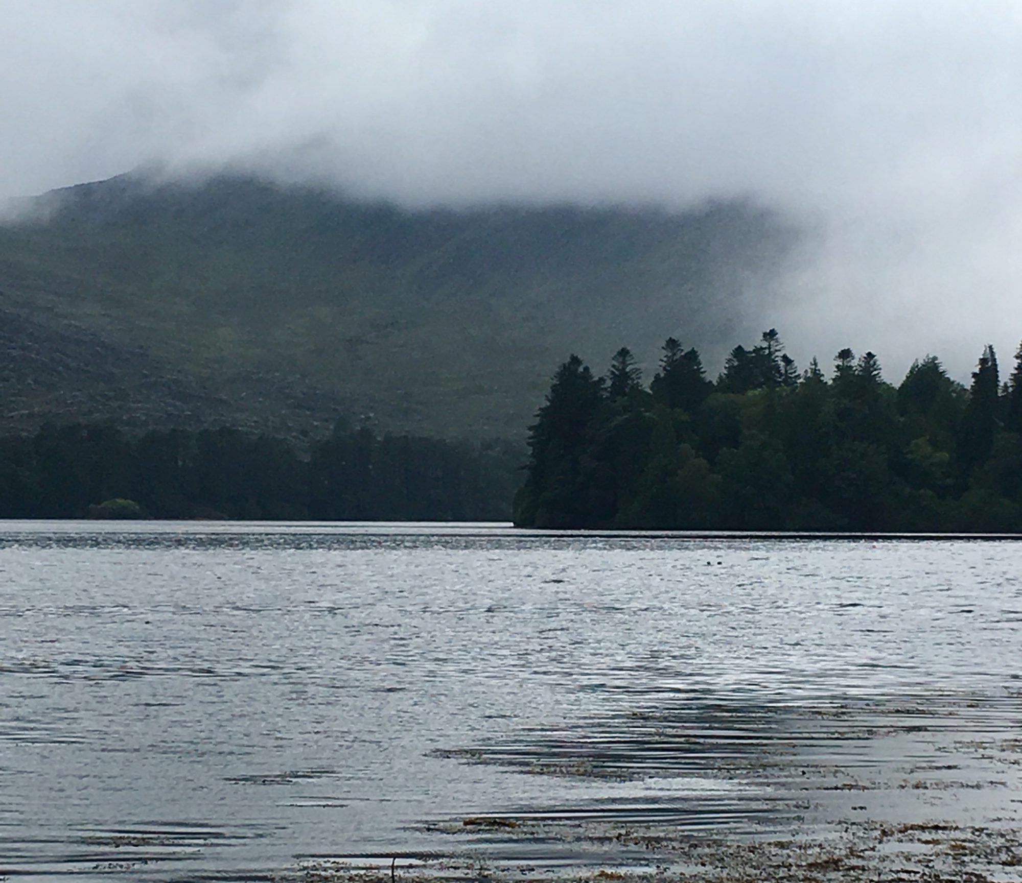
There was no fog for us, just the hard clarity of a wind whipped day, carpets of yellow and orange trees below us, wave after wave of green spruce, and the frosted summit of Baxter Peak ahead.
We turned back, already plotting our return.

One Reply to “”