Long Days

20120704-065544.jpg
We walked into Richmond and were greeted by this sign. Four days to go and still close to 80 miles of walking. Luckily the last two days were short (this is new, thinking a 12.5 mile walk is short) and mostly flat. Richmond is an old castle town and we arrived with enough of the day left to see some sights.

20120704-071035.jpg

20120704-071114.jpg
And we had sun yesterday, the first day since our first day of walking with no rain at all. But this morning is gray and wet again and we have 24 miles to do so we’re up early, eating yet again, and getting ready to set out. Still, we’re having a grand time.

20120704-071403.jpg

Keld to Reeth

David just toasted “sweet and complicated people,” which we all agreed the eight of us are. So we clinked our pints as we do every night in whatever pub we find ourselves. We’re making this work, walking our way across England together.

Today was a walk along Swaledale, the valley of the River Swale. All the people we’ve met doing the C2C (and that’s part of the experience, the people you leap frog with along the path) did the low route today. Even in good weather it’s more scenic and a needed break, being mostly a level walk through hay pastures and old lead mining towns along the river, running brown with the peat of the Pennines. Still, the 12 miles felt like more, which the other walkers here at the Buck Hotel pub agreed was true.

We’re in the Yorkshire Dales National Park and it’s as beautiful as the Lake District but in a much broader, less nestled in and bleaker way.

20120702-195013.jpg

The hay fields are full of wildflowers and sweep down to the river, buttercups, wild geranium, clover and thistle.

20120702-195329.jpg

20120702-204111.jpg

20120702-195543.jpg

And the stone walls and buildings and bridges go on and on. As we will. Only 12.5 miles tomorrow, but then two very long days and two mid-teen days. We’ve done 112 miles and have 88 to do. I think we may make it.

20120702-205135.jpg

20120702-205324.jpg

Half Way There

Sitting in the lounge of the Keld Lounge in Swaledale, drinking tea and ale and eating cake, we’re all glad to be here and to be halfway across Wainwright’s Coast to Coast path.

We’ve had to take the bad weather route every day that’s been an option so far, and today the weather called for that but we didn’t do it. Instead we headed up and over Nine Standards Rig, a peak in the Northern Pennines, named for the nine stone cairns built on the ridge.

20120701-170550.jpg
The origin of the cairns is a mystery, but they’re beautifully built and particularly beautiful and mysterious in a blowing cloud mist.

20120701-170902.jpg
There’s a reason there are bad weather routes. There are few trail markers here and an abundance of low clouds, making navigation tricky. But David has been practicing his compass and map skills and we needed them, following the trail bearing through the legendary mud of the peat bogs. I went up to my knees in mud twice. So did Anne and Peter. But we stayed on track and got to Keld in good time.

Now we’re on to the second map of the path, relaxing as our wet boots and gaitors dry in the drying room. And the scenery continues to be stunning, whether walking a wind whipped ridge or a village lane.

20120701-171713.jpg

Walking, Walking, Walking, Walking . . .

My feet have been screaming at me all afternoon, saying “What are you doing, Woman?”

I’m listening to a cuckoo calling as I walk into Patterdale, the rain that chased us over the pass from Grasmere catching up with us again, this time with thunder and hurling sheets of water.

20120630-194837.jpg

I’m going out after dinner when the sun breaks through racing clouds, crossing a bridge and walking up a lane, admiring the beautiful gardens. A friendly British woman says, “We feel like we live In Heaven.”

I’m traversing what seem like endless moors, dipping into deep valleys criss-crossed with tall stone walls and dotted with old stone houses.

20120701-062807.jpg

I’m taking the low route, as we have every day, because the tough climb and descent over Kitsdy Pike is socked in with clouds and rain showers and blasting winds. We didn’t get to any high peaks in the Lake District but walking from Patterdale to Shap we don’t mind. We walk along Lake Ullswater as rainbows arch over the whitecaps and scitter down wind with us.

20120701-063515.jpg

I’m following aged weather sign boards pointing through farmyards and village alleys to the muddy and grassy and soggy and boggy Coast to Coast track.

20120701-064644.jpg

“Okay, Feet,” I say. “you need to get on board and stop complaining. You have seven more days of this to do, and I’m sorry you can’t see it, but it’s gorgeous.”

20120701-065809.jpg

Grasmere to Patterdale

20120628-161322.jpg

Short walk (7.5 miles) in long rain today but it is so grand and lovely at the same time. Tall stone walls run up and over ridges 700 meters high, waterfall cascades stream down into the valley and just now the sun is out, our wet wet clothes and gear are drying on radiators upstairs, and we’re grabbing enough wifi in the pub to have read the good news about the Supreme Court decision today. More rain forecast for tomorrow but if you’re a real walker in the UK you can’t mind the rain. So we don’t.

Stage Two and Three

David and I are resting our feet in the Ivydene B&B in Grasmere, laundry and drying goretex garments hanging from every knob, maps and the C2C book spread out, checking out what tomorrow might bring.

Yesterday brought the hike from Ennerdale Bridge to Stonethwaite, with the first three or so miles along the south shore of Ennerdale Lake. Sue and Kelly, the couple who own Far Reaches Farm had a great time finding plants they’ve never seen, like these wild orchids.

20120627-162703.jpg

20120627-162644.jpg

The scenery, once again, was incredible, with lake and mountain views, lakeside farms, grand sweeping open ridges, then a hike down into the totally charming Barrowdale Valley.

20120627-163501.jpg

20120627-163526.jpg

20120627-163543.jpg

20120627-163606.jpg

Here is the view outside our window last night, where an English Sparrow was nesting and singing into the evening.

20120627-164703.jpg

Today we started out in rain and hiked into mist and clouds and fleeting sunshine, a bank of fog rolling up out of Grasmere Valley as we descended, then threading away overhead. We passed waterfall after waterfall, jumped rivers and slogged through boggy slopes, listened to the bleating of sheep and marveled at the artistry of the stone walls and buildings. It’s beautiful here!

20120627-170200.jpg

20120627-170213.jpg

20120627-170224.jpg

20120627-170244.jpg

20120627-170255.jpg

Stage One

20120625-201801.jpg

20120625-201837.jpg

20120625-201944.jpg

20120625-201929.jpg

The variety of visual beauty in today’s first stage of the Coast to Coast walk (or C2C as some signs said) is close to unimaginable. From low light on the Irish Sea as we climbed St. Bees Head, to the soft lavender of the velvet grass (actual name, I’m walking with a couple who run a rare plant nursery and they know their plants), to the sweeping views at the summit of Dent Hill across the coastal plain to the shrouded hills of Scotland to the north and tall mountains of the Lakes District to the east, to the deep and lusciously green valley of the Nannycatch Beck (stream) running high from the recent heavy rains, to the wildflowers and foxglove dotting all the open fields and slopes and ridges, it was almost too much to take in. It’s spectacularly scenic here, we walked over 14 miles, we lost the actual C2C at least a couple of times and it didn’t matter, we had a pint and a great dinner and it’s time to close the drapes against the sun that doesn’t go down until 10:30, and get some sleep.

The Next Adventure

In 1973, Alfred Wainwright published “A Coast to Coast Walk” describing a 192 mile footpath across England.   The walk passes through three national parks; the Lake District, the Yorkshire Dales, and the North York Moors.  Tradition includes walkers diping their booted feet in the Irish Sea at Saint Bees and, at the end of the walk, in the North Sea at Robin Hood’s Bay.  We plan to do it all.

David and I leave tomorrow, and will meet up with six friends in Saint Bees to begin our walk on Monday.  Thirteen days later, on Saturday, July 7th, we should be in Robin Hood’s Bay.

We have a lot of walking to do over those 13 days, but we’re ready.  Our training walks around our house have taken us to a number of places I’ve never been, even though close by.   We’ve walked through Northwood State Park, over Saddleback Mountain to the second peak, on a trail created as an Eagle Scout project by a friend’s son.  We’ve navigated the many criss-crossing logging roads on Evans Mountain in Strafford, finding a rocky knob we’ve looked at on a topo map for years, but never reached before.  We’ve walked in pouring rain and on misty, showery days, trying out our rain gear.  We’ve walked the Northwood Area Land Management Collaborative (NALMC) trail across beautiful meadows at the top of Blake’s Hill.  So much walking has been centering and strength building and has conditioned us to the point that a 7 mile hike in yesterday’s blistering heat felt pretty much like nothing.

Which is good, because in a few days, that will be half the distance I need to go to get to where I’ll sleep that night.

Deluge

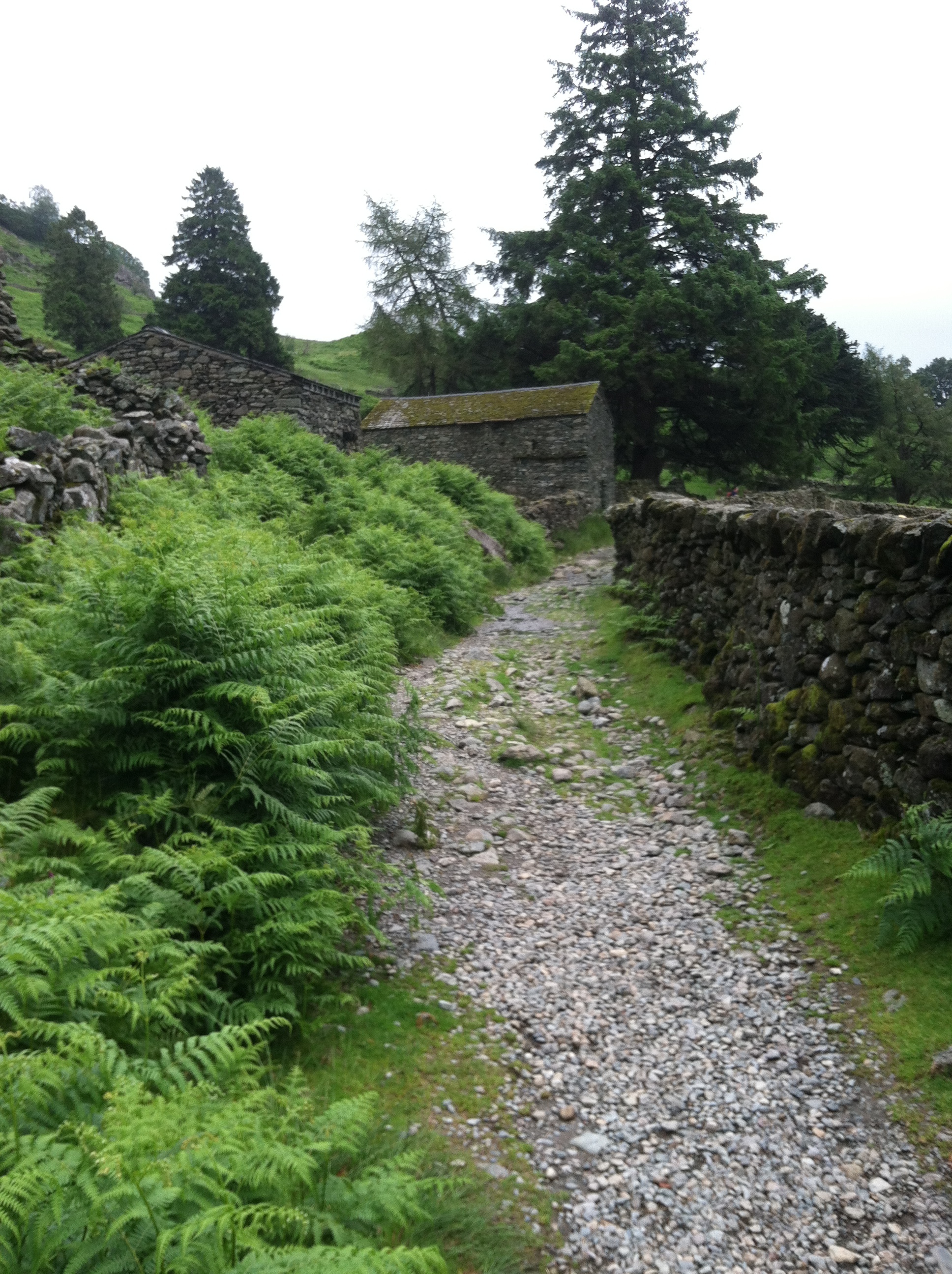
David and I are in Tennessee, helping Sam and Marianna with wedding prep.  Yesterday we felt on top of enough of the many many many details we’re all managing (putting on a party for almost 200 people takes a lot of detail management!) to go for another pre-England Coast to Coast training walk.  We headed for Haw Ridge Park, right outside of Knoxville, because “it’s full of trails,” as Sam said.

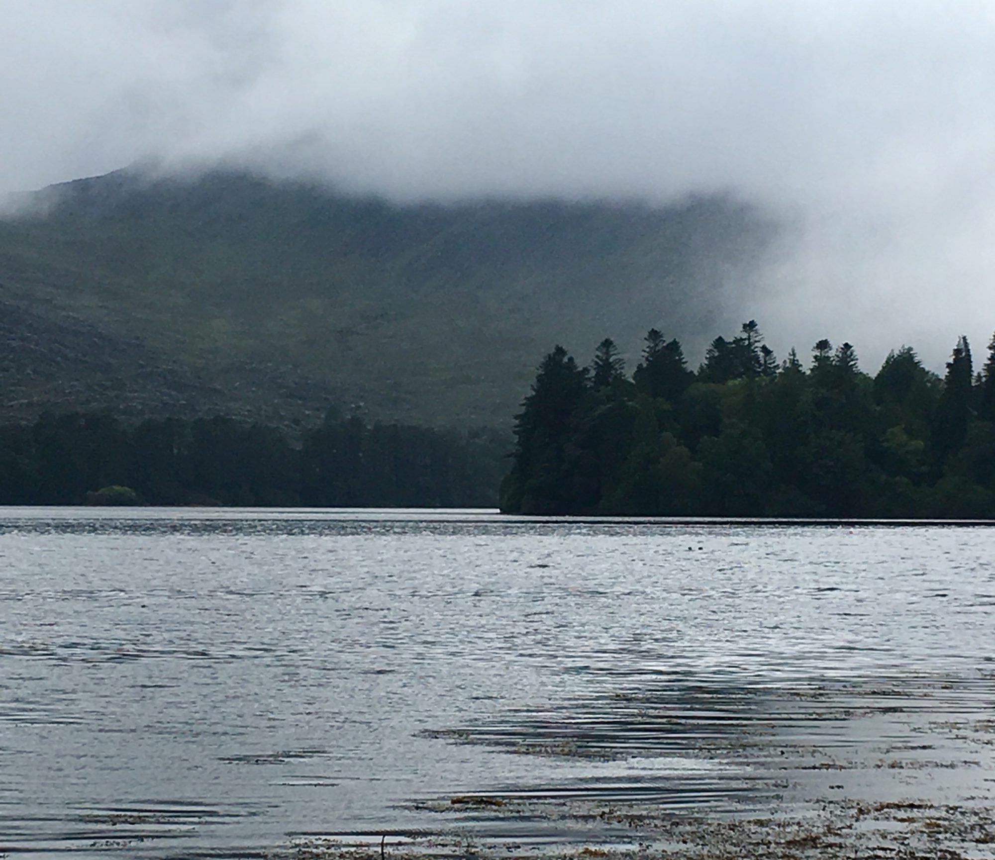
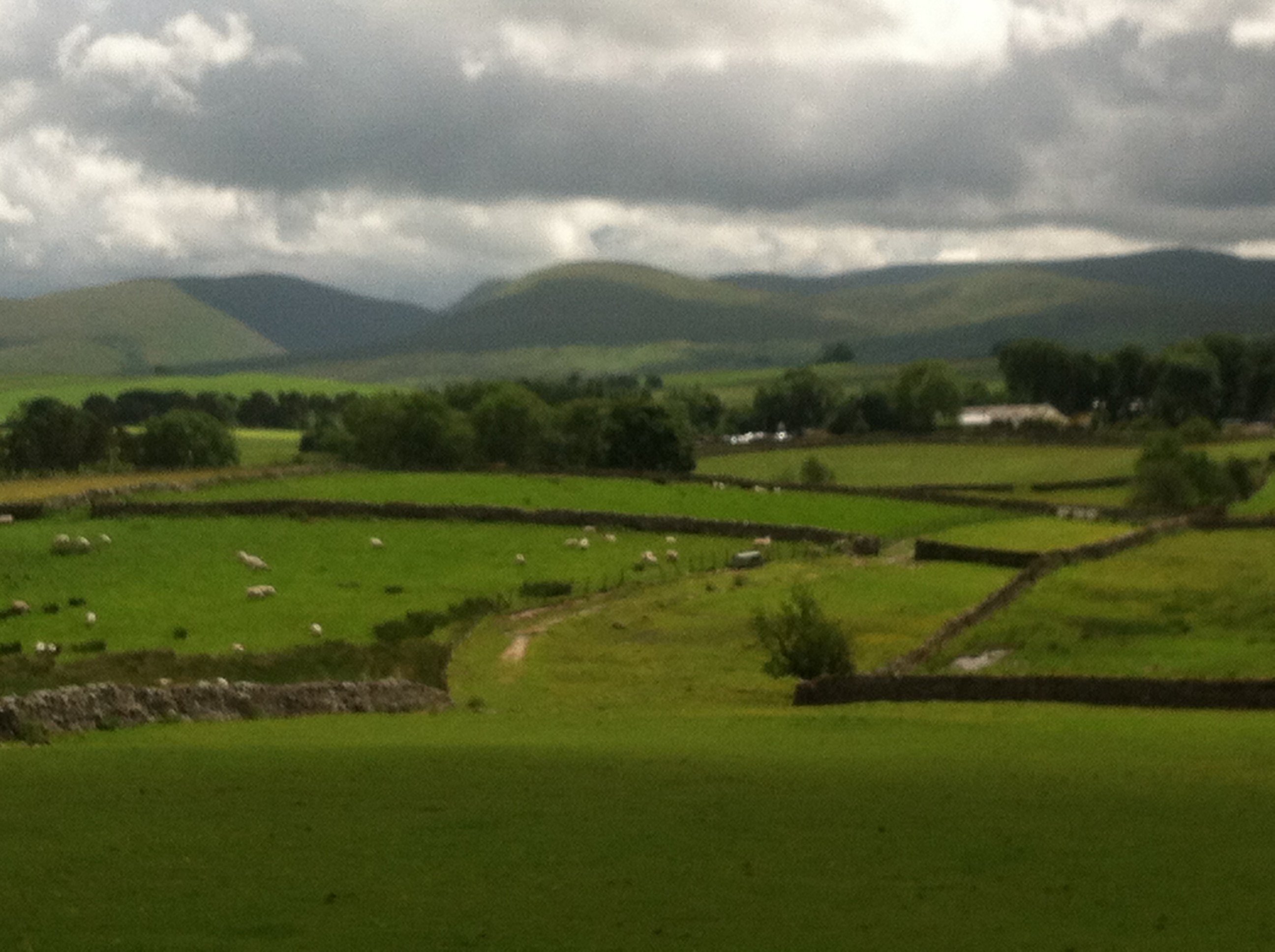
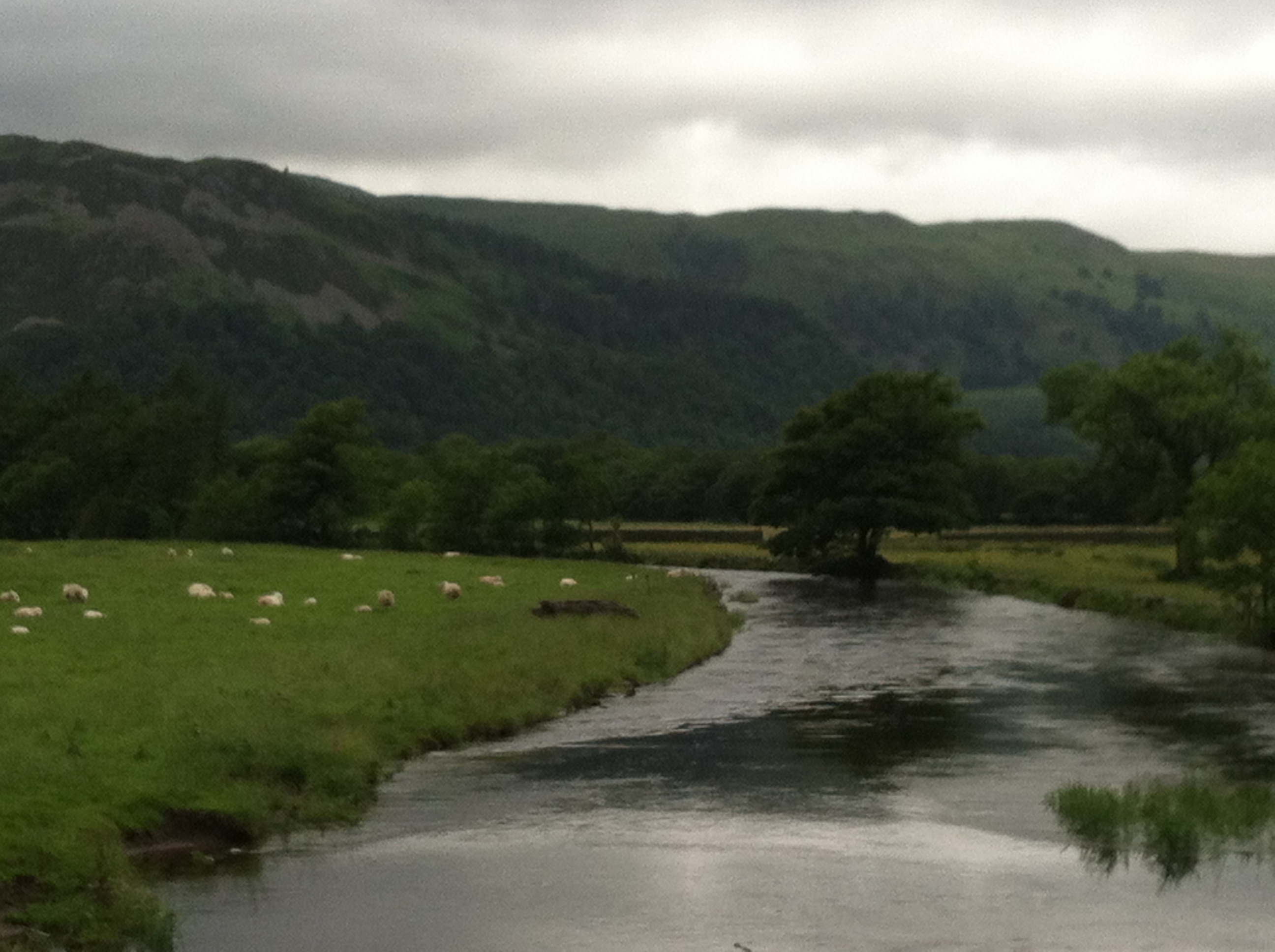
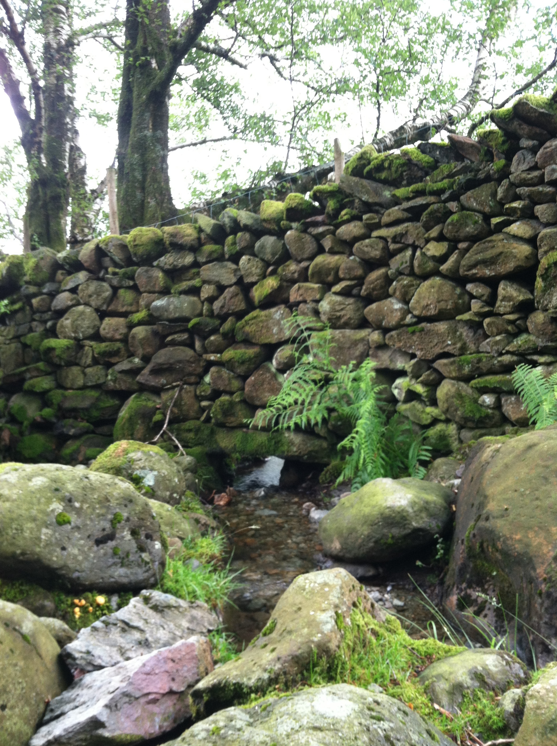
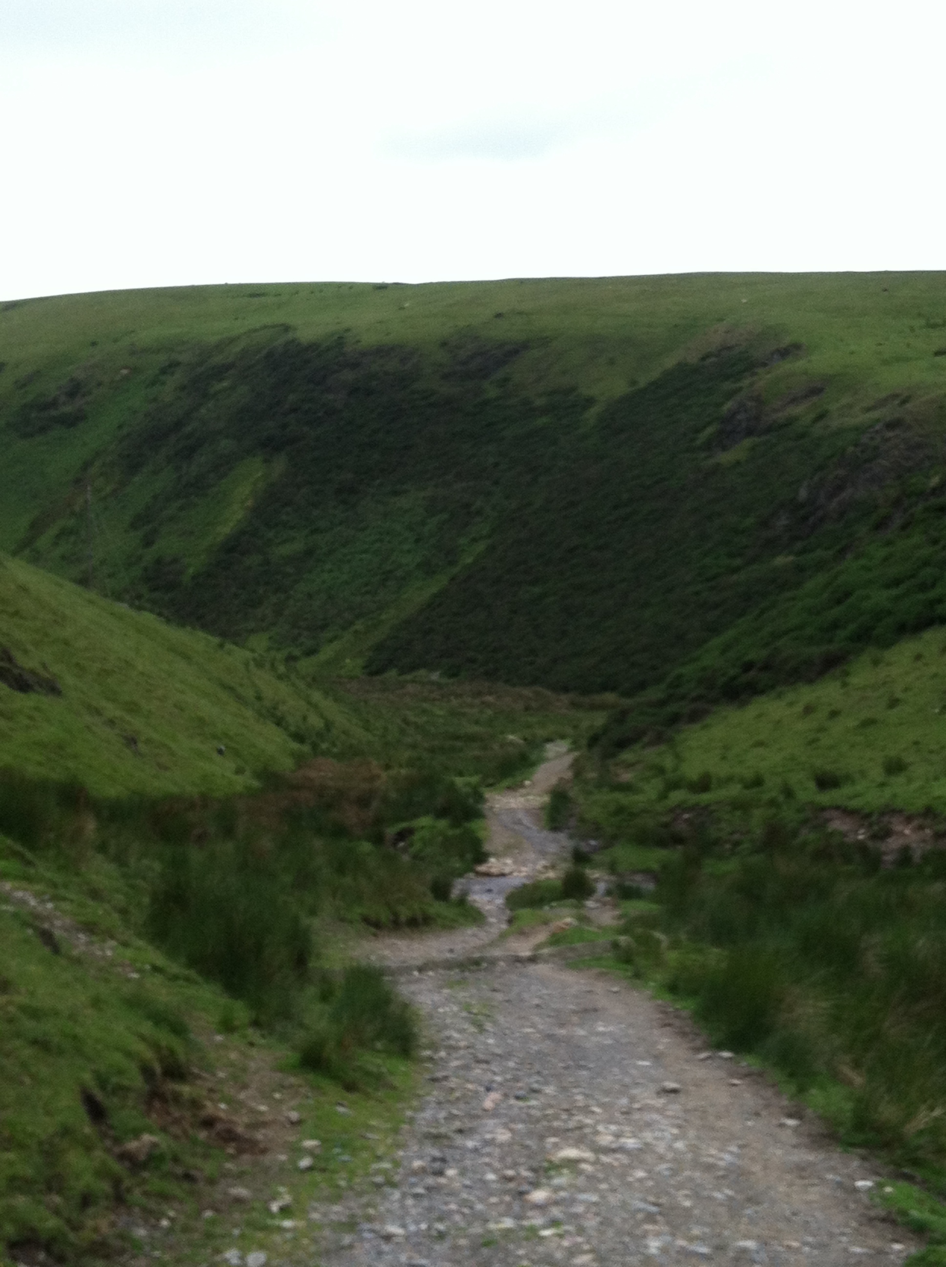
A bit too full.  We found our way to the water along the edge of the big peninsula that makes the park, and had a pleasant hike, eventually coming to a couple of picnic benches out on a spit of land.  By then it was raining lightly, but it was dry under the trees and I took out my iPhone to check my exercise app and see how far we’d walked, and looked at the map function to see where we were.  We decided to walk a bit further along the water, then look for a trail to cut back across the middle of the peninsula to the car.

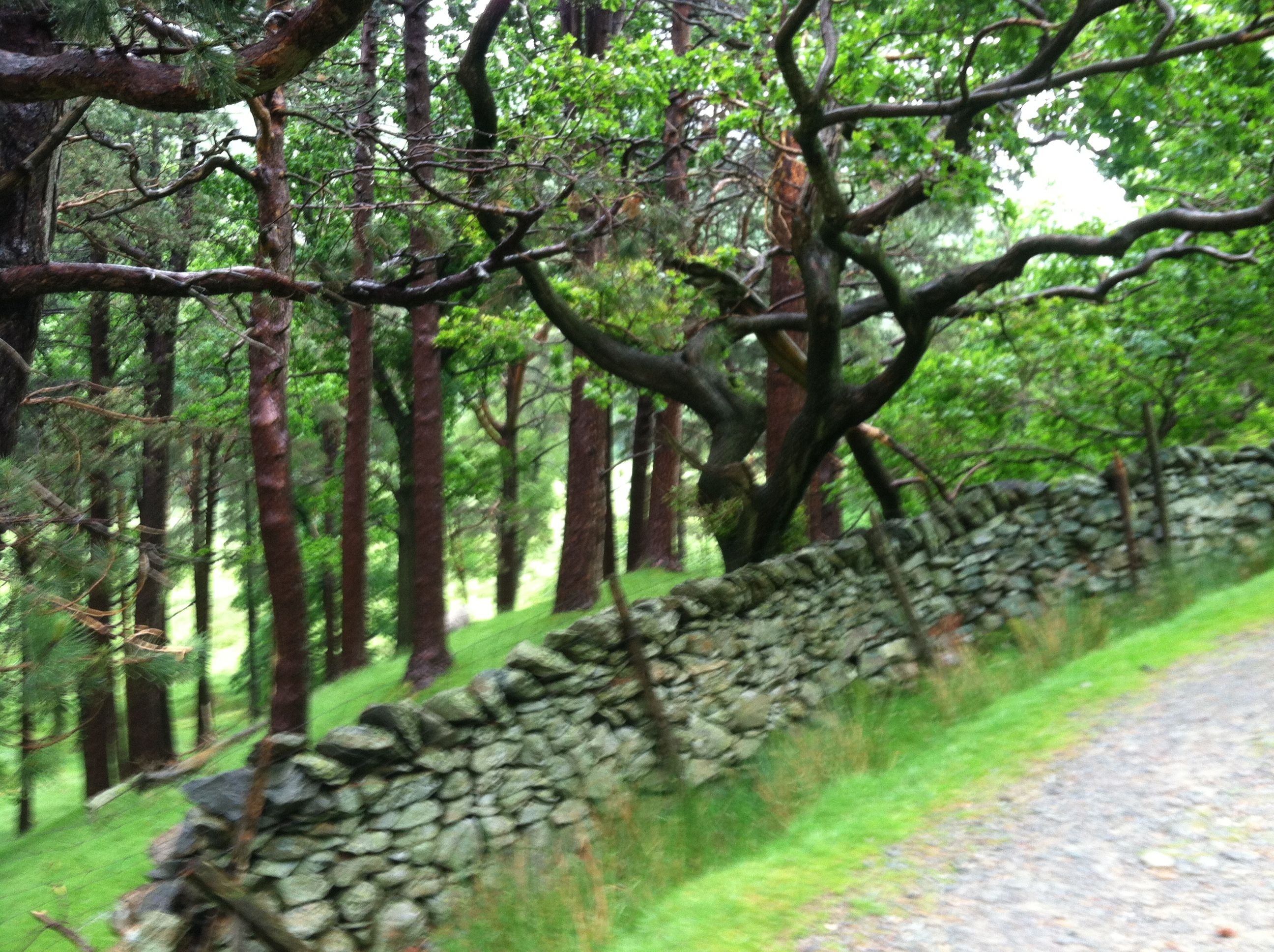
Then it started to pour.  Really pour.  And one trail looked like another, and there were a lot, and they all seemed to curve and twist and soon it was impossible for us to figure out where we were going.  Occasionally we’d stop, I’d take my iPhone out of my new gore tex jacket it was folded into inside my pack, David would hold the pack over my head to block the rain so I could look at my phone without getting it wet, and we kept finding ourselves in the same circle.  Not once, or twice, but three times we went in the same circle.

By now we were drenched, it was getting late, and we realized we were really quite lost. In one spot where we stopped to check the phone, there was a painted turtle on the path.  After we looked at the phone, I looked back for the turtle, which had been a couple of feet behind us.  It wasn’t there.  I looked down at our feet and it was trying to burrow under David’s boot, it’s head butting up against the black sole.

David stepped back carefully from the turtle, I put on my gore tex jacket and put my iPhone in my pocket so I could pull it out and check where we were going on the exercise app more frequently, and eventually could tell by the moving blue ball on the map that we’d found a path under the power lines that would eventually lead us out of the woods.  We got back to Sam and Marianna’s house drenched, muddy and hungry and feeling ready for whatever kind of weather and twisting trails England might dish up.

Perspectives on Walking

This slideshow requires JavaScript.

I love finding scenic places near where I live that I’ve never been before.  David and I are still walking, getting ready for that trek across England, and today we walked through Northwood State Park, crossed Old Mountain Road, and took the Parsonage Lot trail up Saddleback Mountain.   This part of the walk was familiar, but when we got to the first summit of Saddleback, we kept going, past the sign that said “To Deerfield,” a continuation of the trail I’d never walked before.

Thankfully someone has done what looks like a recent marking of the trail with orange arrows on brown boards, because this part of the trail was far less traveled and hard to see.  We pitched down a steep slope on a soft pine needle forest floor, passed through an old stone wall, and crossed granite ledge outcroppings green with moss.  Along the edges of the ledges were small hardwoods, furry with catkins.  It was lovely, and I’d never seen it before.  And maybe best of all, we didn’t get to see where the trail ends (we suspect it goes to the road on the other side of Saddleback that leads to the radio tower) because we had to turn around.  So I get to go back and see more closeby landscape I haven’t seen before.

Yesterday I went for a walk with Adrienne and Alison and Emilio, and got another new perspective on walking.  Coming back down Canterbury Road, Emilio was motoring along, his belly out, his arms pumping, his little legs lifting and cruising on the pavement.  At one point he got to the side of the road, where a solid band of sandy gravel has collected.  He slowed down, looked at his feet on the different surface, and bent his ear down to listen to the crunchy sound of his shoes on the gravel.  Then he walked purposefully back on to the pavement, watching his feet and listening.  Back to the gravel, more steps, more watching and listening.  Then back to the pavement and motoring along.  How cool, to watch that big baby brain figuring out what his feet sound like on different road surfaces.  And then go back to walking.