National Park Civil Disobedience Day 2

IMG_1831

“I’m not talking to you anymore,” the man ranger said to David, holding his hands up as if to push David away. We’d stopped to get out and talk to the rangers when we saw two of them standing in front of orange cones and making cars turn around on the road into Bryce Canyon National Park.  I was having better luck talking to the woman ranger.

“Would I be breaking a federal law or a regulation if I drive down the road and park?” I asked her and she said she wasn’t sure, but then decided it was a federal law.  “You’ll be arrested,” she said.  “We have national park law enforcement and they’ll arrest you and take you to jail.”  By then David had joined the conversation, since the man ranger wouldn’t talk to him any more.

“I’m in a place in my life where that might be okay,” David said.  “What jail would they take us to?”  David and I told the ranger about our idea of organizing thousands of vacationing grandparents and getting them to stage a sit-in at a national park lodge and refuse to move.  I told her about my history of civil disobedience, having been arrested at the Seabrook nuclear power plant and at a Wall Street protest in the 70’s.  She told us she was working without pay, “because I love this park.”  We told her we’d created a Twitter hashtag #nationalparksprotest but since I only have about 80 Twitter followers and David just set up a Twitter account last night to tweet under that hashtag it probably wasn’t going to get a lot of traction.  She laughed.

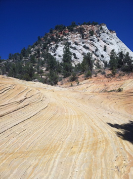
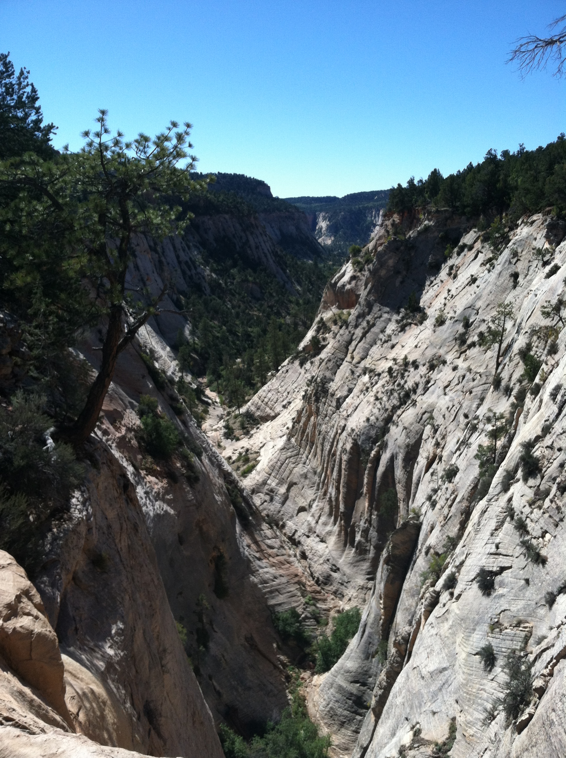
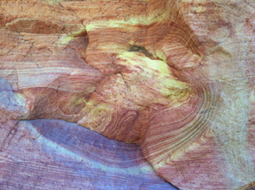
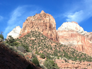
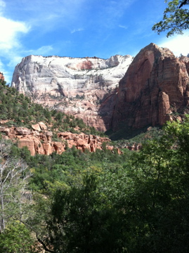
David and I thanked both rangers for working without pay, then got in the car and drove down a dirt road we found out of the parking area across the street.  We found crowds of people on the rim of the canyon, most of them having taken a back road behind the Bryce Canyon Best Western, some in tour buses.  We crossed the fence into the park and started walking, following foot paths along the edge of the canyon.  The further we walked the more spectacular the hoodoos (the spires of rock that make Bryce so remarkable) became.  The rocks got redder and the canyon glowed with color.

IMG_1840 IMG_1834

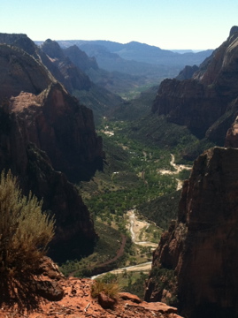
At a mile and a half we reached the first parking area of the park and picked up the official park trails.  We kept going until we reached Sunrise Point, an elevated platform which looks out over the Bryce Amphitheater.  We were the only ones there.  The only people we met actually in the park (most people who’d come in the back road to the rim weren’t going more than a few hundred yards) were Europeans.  I welcomed them to our national park and they smiled and thanked me.

Tomorrow, Capital Reef National Park, which is vast and criss-crossed with back roads.  We’ll find a place to park and take another hike on our public land.

IMG_1850

National Park Civil Disobedience

IMG_1828

David and I were already planning to hike the East Rim Trail in Zion National Park today. The trail head is only a few miles down the road from where we’re staying, just inside the east entrance to the park, and we were looking for a less crowded area to hike.  We also knew the government was probably going to shut down and we figured this would be an easier place to access the park.  We knew we’d get past the entrance, because Utah State Route 9 runs through the park.

At the entrance the ranger in the booth told us the park was closed, that we could only drive through on Rte. 9 and couldn’t stop anywhere on the road.  So we drove the 100 yards to the turn off for the trail head and pulled in.  Just before the parking area, the gate was closed.  I got out of the car, untied the yellow caution tape (Caution, Congress in Session?), opened the gate and David drove through.  We parked and started our hike.

IMG_1826 IMG_1812

The trail was beautiful, less majestic than in Zion Canyon, but quiet and still full of an amazing variety of rock formations and views of cliffs and tree topped mesas. We only saw 6 other people during our morning hike — on most Zion trails you see 6 people in the first minute of the hike.  A man and his son were sitting at the top of Jolly Gulch, looking down the canyon when we arrived.

IMG_1822

“We’re practicing civil disobedience,” I said.  “The parking area at the trailhead was gated, but we just opened the gate and came in.”  The man nodded.  “I had the same thought,” he said.  He and his son had driven a back road to the boundary of the park, just behind the canyon and walked in.  “This is a good place to be today.”  Hiking back to the trial head we met two couples on the trail.   They’d parked just outside the entrance of the park and walked in.  They couldn’t go hiking from the park campground where they were staying, because they were told “you can’t recreate in the park.”  They have to leave their campsite by tomorrow.

So today no one got to hike to Observation Point, which we did yesterday,  unless they did a very, very long hike in from the East Rim Trail (another 7 miles from where we turned around today, then you’d have to come back).  It was a grand hike, up through part of Echo Canyon, where the red sandstone has been washed into curves and ripples.

IMG_1810 IMG_1797

Following switchbacks up the cliff faces, we reached the top of the mesa and walked through scrub vegetation, out to a point with views down Zion Canyon.

IMG_1804

Tomorrow we’re headed for Bryce Canyon National Park, and we’ve been studying topo maps to figure out how to get into the park and hike.  And we will get into the park and hike. Woody Guthrie had it right.

This land is your land This land is my land
From California to the New York island; 
From the red wood forest to the Gulf Stream waters 
This land was made for you and Me.


Clubbed by Beauty

IMG_1786 IMG_1774 IMG_1773 IMG_1772

Steve Almond had an excellent article in The New York Times recently about Elizabeth Gilbert and her new novel.  Gilbert talks about spending time with Julia Roberts before the London premiere of the movie based on her best-selling book Eat, Pray, Love.  “It’s stupid how beautiful she is,” says Gilbert.  “It’s like getting clubbed on an ice floe.”

Zion National Park is that stupid and I’m feeling clubbed by beauty.  “It’s majestical,” a young man said to me today at the head of Hidden Canyon and he was completely right. As you travel down Pine Creek Canyon coming into the main part of the park from the east, or ride up Zion Canyon, spires of light gray rock come into view from behind massive, sculpted towers of red sandstone, and then in the distance a white mesa topped with green pine draws a line across the horizon.  David and I have seen a lot of spectacular in the last few days, but Zion National Park takes it to a whole other level.

Getting to Hidden Canyon was a triumph for me.  Zion is known for having very steep drop offs along the edges of some hiking trails, and this was one.  The trail description makes it clear that it’s not appropriate for people afraid of heights.  That would be me to some extent, so we decided to do the trail and see just how afraid I was.  At one point I had to sit down and think about whether I could keep going.  A nice young couple was coming down the trail and assured me there were good chains to grab ahead.  I grabbed and kept going.  And made it.  I was rewarded with incredible views. The photo below, with the chains hugging the rock wall to the right, is not by me.  There was no way I was stopping to take out my phone and take a picture.

Tomorrow we’re going back to hike up to one of the highest spots in the park, Observation Point. Then we’re heading back down to hike The Narrows along the floor of the canyon.  Not a trail, the Virgin River, with canyon walls reaching up thousands of feet on either side of us.  This is a hike where getting your feet wet is part of the trip.

6182011-Hidden-Canyon-Chain

Gray Dust, Red Dust

20130928-063347.jpg

Yesterday David and I hiked to the level of Mt Washington, the highest point in NH. Only we hiked down to 6,200 feet, starting at 8,300. The North Kaibab trail makes its way into the Grand Canyon through switch backs and rock edged ledge trails, the variegated walls of the canyon showing the history of the earth’s crust as the trail descends. We climbed down through the white-stoned Kaibab formation into the Supai layer, colored with red limestone. As we descended through the layers of earth the dust on the trail changed from gray to rosy brown to red, mirroring the walls around us.

20130928-065333.jpg

We met several people on the trail who were hiking rim to rim in a day – in as few as 6 hours in fact. We were more than satisfied with our 4 hour trek down into the canyon. The hiking is as easy as we’d hoped, with flat sandy footing, switchbacks to make the grade manageable and scenery galore.

20130928-070013.jpg

Now we’re having our usual morning coffee on a deck. Today the deck is at the North Rim Lodge and we’re watching the sun light the walls of the canyon, layer by layer.

The Next Adventure

IMG_1687

“So you’re in the adventure phase of your life,” Joanne said to me.  I met her yesterday at a meeting I was facilitating in Phoenix, and at the lunch break she asked me about my decision to leave my job two years ago.  She was curious about the consulting work I’ve been doing and asked what kind of writing I do.  It was after I described all the unexpected experiences of the last two years, beyond the writing and consulting, that she made the comment about adventure.  “Yes,” I said to her.  “That’s a great way to describe what my life feels like.”

And now David and I are on what is labeled on my calendar as our Southwest Adventure. Tonight we’re in Santa Fe, visiting our friend Marsie, and tomorrow we head off to Arizona, then southern Utah, then back to Santa Fe, for a couple of weeks of hiking and taking in the stunningly scenic geography of this area of the country.

We started our adventure this morning with a short hike.  Afterwards we had lunch at the roof top cafe of the La Fonda Hotel, overlooking downtown Santa Fe, then meandered through the Plaza and some galleries.  When we got back to Marsie’s house, David sat out back on the patio, writing.  He read some of what he’d written to Marsie and me as we were preparing dinner, and I asked if I could use it here.  He said yes, so here it is, an amazing description of an amazing hike.

We hiked in Hyde Memorial State Park, northeast of Santa Fe, taking a 3 mile route, climbing 1000 feet to 9400 feet in the first mile, tasting high altitude for the first time and knowing we were quickly working at our limits of oxygenation.  Resting, slowing our pace, hydrating, all helped and it was a good way to start, lovely to climb on trails of bark mulch and graded pebbles, away from the road and into the sharpened focus of dry air. The edges of everything are razored clean, and the open space between trees, their undressed branches weave muscled lines of bonsai against the sky, the shimmering needles.  The blue is so deep and bottomless as to be flat.  It appears in the same plane as everything in the foreground, but is so obviously vast and distant, literally out of this world, that it stops the mind, effortlessly arresting the chatter.   The breezes, the temperature, the immediacy of the sun on our bodies heighten a sense of being in two places at once.  Something turns inside out on itself before this sky.  — David 

Above Tree Line: August x 2

IMG_1603

Any month that includes two trips above tree line is a good one.  Earlier this month, David, Anne and I hiked up Mt. Garfield, making our way easily up the 10 miles of trail to a clear summit.  Earlier this week, David, Anne and I hiked again, this time with five other friends, to celebrate my 6oth birthday.  We climbed Mt. Carragain, again 10 miles and only 250 feet of additional elevation gain over the 3,000 it takes to get to the summit of Garfield.  But the trail is far gnarlier, with rocks and roots and straight ascents up Signal Ridge, rather than the mostly even footing up the switchbacks of Garfield.  It was not an easy hike, but it was glorious.  When we got to an opening on the ridge with views down into Carragain Notch, we stopped for lunch and a birthday celebration.  Alison had brought cake, she lit a candle, and a group of young men and women, on an orientation trip from Yale, joined in singing “Happy Birthday” to me.

It was just what I wanted to celebrate this milestone birthday.  Not a big deal, but really, a big deal — a day in the mountains with friends, savoring good conversations, a challenging but satisfying stretch of my muscles and strength, and long views off into the waves of mountain ridges, blue fading into smoky gray then climbing back up into bluer sky.

Above Tree Line: July

IMG_1516

I’ve been a negligent blogger, for more reasons than could possibly be interesting or appropriate to describe, though one of those reasons is my near total absorption in Jane Austen’s complex prose and fascinating character development, thus the current partiality for complex prose myself, the willingness to go on and on like the ever-talkative Miss Bates, into as many subjects as can tolerably be imagined, and still hold onto the thread, as far stretched as it might get, and as many metaphors as might comfortably fit (not to mention commas), in a sentence; and for an excellent, modern example of deft and impressive sentence structure read Claire Messud‘s The Emperor’s Children.  And while you’re at it, read her new The Woman Upstairs, because it is a majorly brilliant book.

Over a week ago we fulfilled our July intention of getting above tree line.  David, Anne and I summited Mt. Eisenhower on a day of intermittent sun and clouds.  The wind was strong and cool enough to require our jackets, which was a great change and a greater relief after a too-hot week.  The Pemigewasset Wilderness ranges to our south folded away in blue layers, and we looked out over the long ridge formed by Mt. Bond and Bondcliff, imaging the 19.5 mile traverse we’re planning to do in August.  It’s not an easy hike, with over 3,700 feet of elevation besides the long mileage.  But it allows you to walk into and out of the wilderness, literally.

This week my training for both that long hike and an upcoming triathlon will be confined to an island, less than 2 miles long and 3/4 mile wide and 12 miles off the coast of Maine — Monhegan.  David and I walked a few of the supposed 17 (or 12, depends on which source you read) miles of trail yesterday evening, out to Burnt Head and White Head, steep cliffs overlooking the Atlantic.  He’s here to paint.  I’m writing.  Including my blog. More soon.

Above the Trees: June

IMG_1419

This month we not only got above the trees, we got above tree line.  And into the clouds. As we reached the summit of Mt. Moosilauke, the clouds that had been hiding the higher summits began to break into wind-blown sheets of mist, then lifted enough to open up a view of the mountains to the east.

IMG_1418

At one point a ceiling of cloud settled into the notch, between Moosilauke and Franconia Ridge, sunlight streaking the distant slopes.  Another day outside, another hike that reminded us why we committed to the intention of getting above the trees at least once a month this year.

IMG_1421


Above the Trees: April

IMG_1321

Notice the title has changed; not above tree line, but above the trees.  David and I got up Sunday morning with the intention of driving to the White Mountains to hike Mt. Pierce, fulfilling our New Year’s intention for April.  But after a busy week of travel for family visits, and an upcoming week of more travel, we didn’t want to spend a good part of the day in the car.  This intention was meant to help us make time to do something we enjoy, not to turn into a chore or an obligation.  We already have plenty of those.

So we climbed Mt. Major, a small mountain south of Lake Winnipesaukee, bare granite at the top because of a long-ago fire, with beautiful views across the lake to the above tree line ridges of the White Mountains to the north.  We decided getting above the trees would do just fine, and it did.

IMG_1318

We were home in time to sit in the sun, out of the wind, and let some of the new season sink in.  We needed that.